GIS Application Development

Credit: Jan Oliver Wallgrun, (c) Penn State University, (CC BY-NC-SA 4.0)

Resource Description

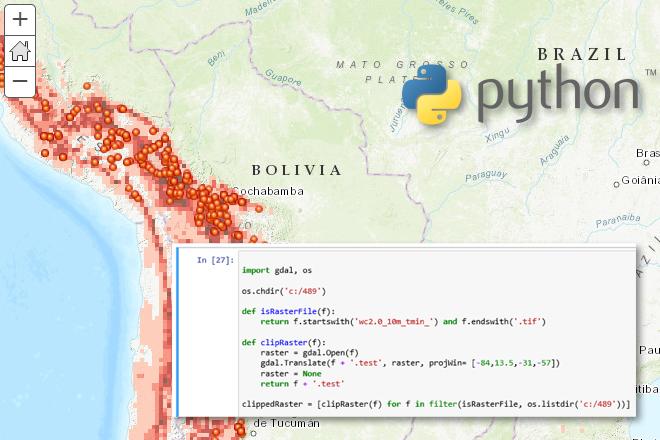
In GEOG 489, you will learn advanced applications of Python for developing and customizing GIS software, designing user interfaces, solving complex geoprocessing tasks, and leveraging open source. The course consists of readings, walkthroughs, projects, quizzes, and discussions about advanced GIS programming concepts and techniques, and a final term project. It complements the material covered in GEOG 485: GIS Programming and Customization. Software covered in the course includes: Esri ArcGIS Pro/arcpy, Jupyter Notebook, Esri ArcGIS API for Python, QGIS, GDAL/OGR. Students will also make use of the Git version control software for code management, and learn techniques for distributing Python applications to end users.

This resource is part of the following programs: Graduate Certificate in Geospatial Programming and Web Map Development, Master of Professional Studies in Homeland Security, Master of Science In Spatial Data Science, Masters of Geographic Information Systems, and Postbaccalaureate Certificate in Geographic Information Systems.

Course Number

GEOG 489

License

CC BY-NC-SA 4.0

Online Resource

You can view the entire resource here: Advanced Python Programming for GIS

Download Resource Files

You can download the resource files here: Advanced Python Programming for GIS
Jim Detwiler

Hi, I'm Jim Detwiler. I've been an instructor in the Geography Department's online GIS program since 2000. Back then, we had just a one-year, non-credit certificate program with few electives. Today, we offer a Master of GIS degree with numerous electives that enable students to focus on application areas of interest to them. I'm very proud to be associated with this program, both in terms of the faculty involved and the adult professionals who enroll in it. Since joining the online geospatial program, I have authored and taught GEOG 485: GIS Programming and Customization (a VBA/ArcObjects course that's now retired), GEOG 489: GIS Application Development, GEOG 863: GIS Mashups and GEOG 897D: Spatial Database Management, first offered in 2002, 2005, 2008, and 2012, respectively.

James O'Brien

I got involved in GIS in 1993 but via a slightly different path perhaps to most people. A year earlier I'd been introduced to GIS at a university promotional event where it was described as "Computing and Environmental Studies." Intrigued at how the two could be combined, I went along, listened, liked what I heard and selected GIS as my undergraduate degree. That degree, combining GIS with a solid background in Computing Science, led to me being employed as a computer programmer, hardware technician, cartographer and a few other things along the way.

Jan Oliver Wallgrun

I have been working as a researcher and instructor at the Penn State Geography department, but a little while ago moved back to Germany where I am originally from. I am a computer scientist by training, with my master and Ph.D. both in Informatics. However, I have been working in the areas of GIS and GIScience for more than a decade now. In my residential courses at Penn State, I have been teaching introductory courses to GIS and GIScience, geospatial data management and spatial databases, and object-oriented programming for GIScience.

Resource Departments