
Advanced Python Programming for GIS
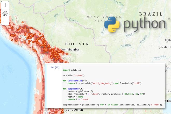
Credit: Jan Oliver Wallgrun, © Penn State University, (CC BY-NC-SA 4.0)
Resource Description
In GEOG 489, you will learn advanced applications of Python for developing and customizing GIS software, designing user interfaces, solving complex geoprocessing tasks, and leveraging open source. The course consists of readings, walkthroughs, projects, quizzes, and discussions about advanced GIS programming concepts and techniques, and a final term project. It complements the material covered in GEOG 485: GIS Programming and Customization. Software covered in the course includes: Esri ArcGIS Pro/arcpy, Jupyter Notebook, Esri ArcGIS API for Python, QGIS, GDAL/OGR. Students will also make use of the Git version control software for code management, and learn techniques for distributing Python applications to end users. Learn moreCourses and Workshops in Digital Humanities
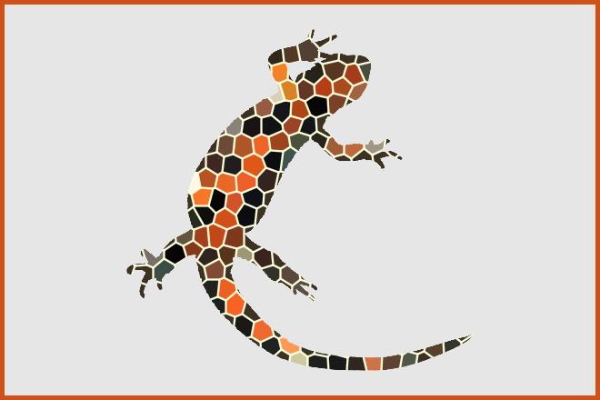
Image adapted from the logo of the newtFire website maintained by Elisa Beshero-Bondar, licensed under CC BY-NC-SA 4.0
Resource Description
Elisa Beshero-Bondar's newtFire project development site features syllabi, tutorials, and example work for a number of courses, and serves as an incubator of learning and research collaboration between scholars and students in the Digital Humanities. New and ongoing projects after 2020 reflect Dr. Beshero-Bondar's Digital Humanities work at Penn State Erie, The Behrend College, and several reflect collaborations across multiple institutions. Some projects begun before 2020 are led and maintained by faculty, students, or alumni of the University of Pittsburgh at Greensburg.
In addition to these project materials, many explanatory guides on markup technologies are also included, providing instruction, reference, and exercises on topics such as XML, JavaScript, HTML, CSS, Git, regular expressions, and various other data structuring schemas.
Learn moreEnergy Industry Applications of GIS

Credit: Stormast by Inactive account 127071 is licensed under CC0
Resource Description
Is Energy and GIS your passion? If so, Energy Industry Applications of GIS provides students with an in-depth exploration of the complexities of siting decisions in the electricity market. The course introduces a variety of siting challenges that confront the energy industry and its customers and neighbors but focuses on the siting of electrical transmission lines. The course also provides hands-on experience with a common decision support technology, ArcGIS, and considers how the technology may be used to facilitate public participation in siting decisions. This course stopped being offered for credit and may be out of date or have broken links after May 2019. Learn moreExploring Imagery and Elevation Data in GIS Applications
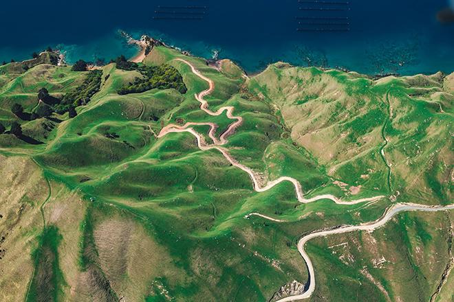
Credit: D'Urville Island, New Zealand by Alex Siale is free to use
Resource Description
“Exploring Imagery and Elevation Data in GIS Applications” (GEOG 480) focuses on the use of remotely sensed imagery and elevation data in GIS applications. Students enrolling in GEOG 480 should have a solid conceptual foundation in geospatial information science and technology. GEOG 480 is appropriate for those who are already working in the geospatial profession and wish to use imagery and elevation data in visualization and spatial analysis. Throughout the course, students confront realistic remote sensing problem scenarios that incorporate such skills and concepts as definition of data needs, metadata content standards, data formats and types, and analysis methods. Learn moreGeodesign History, Theory, Principles
Photo credit: Filip Linders, MSF/Doctors Without Borders/Swedish Innovation Unit (used with permission)
Resource Description
Do you believe that we can be more creative in planning our communities and protecting environments for a sustainable future? Would you like to learn a method to make a difference? One that empowers stakeholders and reduces conflict? Geodesign delivers creative solutions for environmental, economic, and social issues. This method works collaboratively across disciplines, deploying innovative technology to dynamically illustrate the impacts of alternative design scenarios. Geodesign is rooted in the physical design professions coupled with social and geographic sciences and enhanced by the latest technologies. GEODZ 511 introduces students to the multifaceted, well-proven geodesign framework grounded in a series of key decision-making steps. It emphasizes understanding both people and place through a unique collaborative method. Students learn how to work through the steps of the geodesign framework and begin to understand the process needed to make wise choices for today’s urban and rural design and planning challenges.
Learn moreGeospatial Intelligence and the Geospatial Revolution
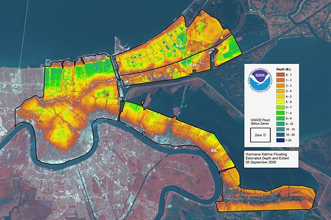
Credit: LIDAR map of New Orleans flooding caused by Hurricane Katrina, 3 September 2005 from ESA/NOAA is licensed under CC BY-SA 3.0 IGO
Resource Description
Geographic Intelligence (GEOINT) is more than people working with computers in a secure intelligence facility. Join us for this exciting journey to learn about GEOINT's application in business, law enforcement, and defense. Advances in satellites, GPS, unmanned aerial systems, wireless communications, handheld computing, and the ability to automate laborious map analysis processes has transformed what used to be called geographic intelligence, or GEOINT, and the nature of the insights provided to managers and leaders. We have gone from mountains of hardcopy maps to amazing automated systems that provide previously unavailable understanding. GEOINT combines geographic information science and technologies with an analytic tradecraft. You will experience the value of GEOINT. We welcome you to the Revolution. Learn moreGeospatial Technology Project Management

Credit: Time-lapse Photography of Vehicle Lights by Kaique Rocha is free to use
Resource Description
In GEOG 871, we'll take a critical look at geospatial project management. Project management is a broad discipline that encompasses technical methods such as system design and analysis and also interpersonal factors that affect professional relationships. Project management is also a discipline that has matured outside of, but can be incorporated into, geospatial technology. By the end of this course, you'll have devised a project plan from a scenario built upon a real-life project involving the city of Metropolis geodatabase. We'll work through each of the components in an organized and logical manner and will incorporate constructive peer review to help everyone achieve the best product possible. Learn moreGIS Analysis and Design

Credit: Architectural, design, architecture buildings 425053 by Juhasz Imre is licenced under CC0
Resource Description
Geography 468 provides the geospatial information system professional an overview of systems analysis and design with emphasis on the concepts behind the process, including: business use case modeling, business object modeling, requirements definition, analysis and preliminary design, and, finally, detailed design. The concepts of the geospatial software and database development process are introduced and the current modeling techniques are addressed within the geospatial systems development paradigm. In a series of related activities, students learn about the methods, tools, and concepts of the systems development process to document a portion of a geospatial system with Unified Modeling Language (UML), the standard graphical notation for modeling application needs. Learn moreGIS Programming and Software Development

Credit: High Angle View of Residential Buildings by Palo Cech is free to use
Resource Description
Bill Gates is credited with saying he would "hire a lazy person to do a difficult job" with the justification that "a lazy person will find an easy way to do it." GEOG 485 doesn't teach the lazy way to get the job done, but it does teach the scripting way — which is arguably even better. You've probably heard the "give a fish"/"teach to fish" saying? That's the gist of GEOG 485: to equip you, in an ArcGIS context, with the ModelBuilder and Python scripting skills to make your boring, repetitive geoprocessing tasks easier, quicker and automatic — so you can focus on the more interesting (potentially more valuable) work that you (and your employers) really want you to be doing. Learn moreIndependent Study in Geospatial Intelligence

Credit: Photo by Christopher Gower is free for use