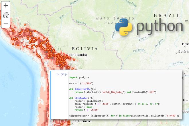
Advanced Python Programming for GIS

Credit: Jan Oliver Wallgrun, © Penn State University, (CC BY-NC-SA 4.0)
Resource Description
In GEOG 489, you will learn advanced applications of Python for developing and customizing GIS software, designing user interfaces, solving complex geoprocessing tasks, and leveraging open source. The course consists of readings, walkthroughs, projects, quizzes, and discussions about advanced GIS programming concepts and techniques, and a final term project. It complements the material covered in GEOG 485: GIS Programming and Customization. Software covered in the course includes: Esri ArcGIS Pro/arcpy, Jupyter Notebook, Esri ArcGIS API for Python, QGIS, GDAL/OGR. Students will also make use of the Git version control software for code management, and learn techniques for distributing Python applications to end users. Learn moreCourses and Workshops in Digital Humanities

Image adapted from the logo of the newtFire website maintained by Elisa Beshero-Bondar, licensed under CC BY-NC-SA 4.0
Resource Description
Elisa Beshero-Bondar's newtFire project development site features syllabi, tutorials, and example work for a number of courses, and serves as an incubator of learning and research collaboration between scholars and students in the Digital Humanities. New and ongoing projects after 2020 reflect Dr. Beshero-Bondar's Digital Humanities work at Penn State Erie, The Behrend College, and several reflect collaborations across multiple institutions. Some projects begun before 2020 are led and maintained by faculty, students, or alumni of the University of Pittsburgh at Greensburg.
In addition to these project materials, many explanatory guides on markup technologies are also included, providing instruction, reference, and exercises on topics such as XML, JavaScript, HTML, CSS, Git, regular expressions, and various other data structuring schemas.
Learn more