Energy Industry Applications of GIS

Energy Industry Applications of GIS

Credit: Stormast by Inactive account 127071 is licensed under CC0

Resource Description

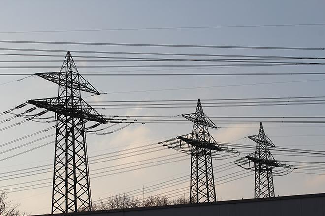
Is Energy and GIS your passion? If so, Energy Industry Applications of GIS provides students with an in-depth exploration of the complexities of siting decisions in the electricity market. The course introduces a variety of siting challenges that confront the energy industry and its customers and neighbors but focuses on the siting of electrical transmission lines. The course also provides hands-on experience with a common decision support technology, ArcGIS, and considers how the technology may be used to facilitate public participation in siting decisions. This course stopped being offered for credit and may be out of date or have broken links after May 2019.

Course Number

GEOG 469

License

CC BY-NC-SA 4.0

Online Resource

View the entire resource online here: Energy Industry Applications of GIS

Download Source Files

Download the resource's source files here: .zip (2.53 MB)

Ron Santini

Ron Santini

So, who am I? I am an instructor for the Penn State World Campus and come to the World Campus from a different path than your typical instructor. I worked for 30+ years in the environmental field, 18 with a major southeastern United States energy utility. During my years at the utility, I was a project scientist and then a manager of a group of scientists and technicians responsible for the environmental assessment and monitoring of soil, surface water, and groundwater from utility discharges, waste ponds, ash basins, and landfills at fossil-, nuclear-, and hydroelectric-generating facilities. In addition, my team conducted environmental assessments for proposed overhead electric transmission lines, proposed generating facilities, and of contaminated legacy sites.

Learn more