Energy Industry Applications of GIS

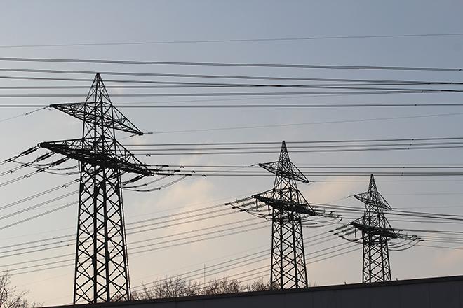
Credit: Stormast by Inactive account 127071 is licensed under CC0
Resource Description
Is Energy and GIS your passion? If so, Energy Industry Applications of GIS provides students with an in-depth exploration of the complexities of siting decisions in the electricity market. The course introduces a variety of siting challenges that confront the energy industry and its customers and neighbors but focuses on the siting of electrical transmission lines. The course also provides hands-on experience with a common decision support technology, ArcGIS, and considers how the technology may be used to facilitate public participation in siting decisions. This course stopped being offered for credit and may be out of date or have broken links after May 2019. Learn moreGeographic Information Analysis

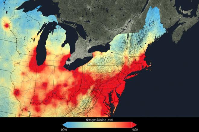
Credit: Close up of nitrogen dioxide in the Northeast U.S. averaged over 2005 by NASA is free to use.
