Web Application Development for the Geospatial Professional
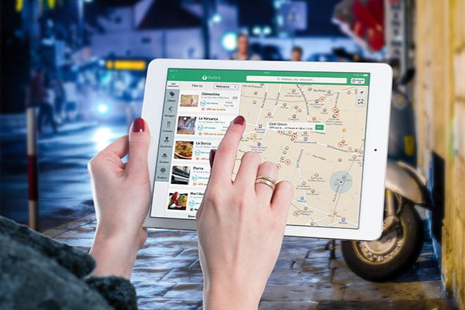
Credit: Ipad, Map, Tablet, Internet, Screen by FirmBee is licensed under CC0
Resource Description
Locating restaurants in an unfamiliar place, reporting potholes to the local DOT, obtaining real-time traffic conditions... All of these are examples of geospatial web apps that are revolutionizing how people obtain and share information about the world. In GEOG 863, you will learn how to build apps like these. You'll start with a quick look at the fundamentals of web programming (HTML and CSS) before diving in to using JavaScript and a mapping application programming interface (API) developed by Esri. Using this API, you'll create both 2D and 3D visualizations of your own data and learn how to develop a user interface to enable users to interact with your map.
Course Number
GEOG 863
License
CC BY-NC-SA 4.0