Exploring Imagery and Elevation Data in GIS Applications

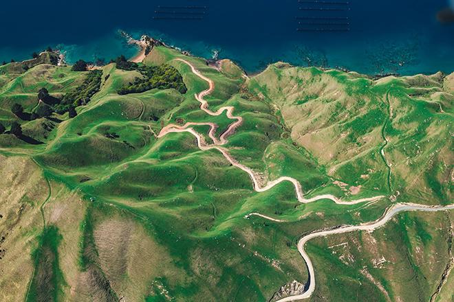
Credit: D'Urville Island, New Zealand by Alex Siale is free to use
Resource Description
“Exploring Imagery and Elevation Data in GIS Applications” (GEOG 480) focuses on the use of remotely sensed imagery and elevation data in GIS applications. Students enrolling in GEOG 480 should have a solid conceptual foundation in geospatial information science and technology. GEOG 480 is appropriate for those who are already working in the geospatial profession and wish to use imagery and elevation data in visualization and spatial analysis. Throughout the course, students confront realistic remote sensing problem scenarios that incorporate such skills and concepts as definition of data needs, metadata content standards, data formats and types, and analysis methods.

