
Earth Surface Processes in the Critical Zone
Credit: Blue and Gray Moon during Nighttime by Jaymantri is licensed under CC0
Resource Description
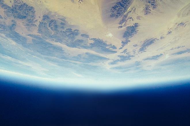
Rapid changes at Earth's surface, largely in response to human activity, have led to the realization that fundamental questions remain to be answered regarding the natural functioning of the Critical Zone, the thin veneer at Earth's surface where the atmosphere, lithosphere, hydrosphere and biosphere interact. EARTH 530 will introduce you to the basics necessary for understanding Earth surface processes in the Critical Zone through an integration of various scientific disciplines. Those who successfully complete EARTH 530 will be able to apply their knowledge of fundamental concepts of Earth surface processes to understanding outstanding fundamental questions in Critical Zone science and how their lives are intimately linked to Critical Zone health. Learn moreEnvironmental Challenges in Spatial Data Science
Credit: Moor Swamp Landscape Nature Nature Reserve by herbert2512 is licensed under CC0
Resource Description
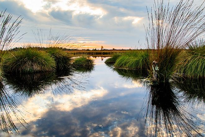
Increasingly volatile climate and weather; vulnerable drinking water supplies; shrinking wildlife habitats; widespread deforestation due to energy and food production. These are examples of environmental challenges that are of critical importance in our world, both in far away places and close to home, and are particularly well suited to inquiry using geographic information systems. In GEOG 487 you will explore topics like these and learn about data and spatial analysis techniques commonly employed in environmental applications. After taking this course you will be equipped with relevant analytical approaches and tools that you can readily apply to your own environmental contexts. Learn moreMapping our Changing World
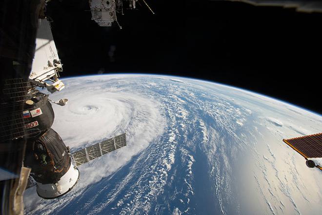
Credit: Space Station Flyover of Super Typhoon Noru by NASA is Public Domain