
Cartography and Visualization
Resource Description
Maps are powerful visual tools, both for communicating ideas and for facilitating data exploration. In GEOG 486: Cartography and Visualization, you will learn design principles and techniques for creating maps with contemporary mapping tools, including ArcGIS Pro. In this lab-focused course, you’ll apply cartographic theory to practical problems, with a focus on design decisions such as selecting visual variables, classifying and generalizing data, applying principles of color and contrast, and choosing projections for maps. You will also be introduced to future-focused application topics such as augmented and virtual reality, mapping with multivariate glyphs, the visual depiction of uncertainty, interactive geovisualizations and (geo)visual analytics, and decision-making with maps and mapping products. Successful completion of this course will signify mastery in map production for communication and research; you will be practiced in making, analyzing, critiquing, and sharing high-quality maps. Learn moreEnergy in a Changing World
Credit: Green city concept, cut the leaves of plants, isolated over white by kirillov alexey, licensed through Shutterstock used with permission
Resource Description
What is energy? It's the hot in heat, the glow in light, the push in wind, the pound in water, the sound of thunder and the crack of lightning. It is the pull that keeps us (and everything else!) from simply flying apart, and the promise of an oak deep in an acorn. It is all the same, and it is all different. Sunshine and waterfalls won't start your car, and wind won't run the dishwasher. But, if we match the form and timing of the energy with your needs, all of these things could be true. Energy in a Changing World is about the full arc of energy transformation, delivery, use, economics and environmental impact, especially climate change. Learn moreEnvironmental Challenges in Spatial Data Science

Credit: Moor Swamp Landscape Nature Nature Reserve by herbert2512 is licensed under CC0
Resource Description
Increasingly volatile climate and weather; vulnerable drinking water supplies; shrinking wildlife habitats; widespread deforestation due to energy and food production. These are examples of environmental challenges that are of critical importance in our world, both in far away places and close to home, and are particularly well suited to inquiry using geographic information systems. In GEOG 487 you will explore topics like these and learn about data and spatial analysis techniques commonly employed in environmental applications. After taking this course you will be equipped with relevant analytical approaches and tools that you can readily apply to your own environmental contexts. Learn moreFrom Meteorology to Mitigation: Understanding Global Warming

Credit: Blue Icebergs Under Cloudy Sky by Pixabay is licensed under CC0
Resource Description
Human-caused climate change represents one of the great environmental challenges of our time. As it is inextricably linked with issues of energy policy, a familiarity with the fundamentals of climate change is critical for those looking to careers in the energy field. To appreciate the societal, environmental, and economic implications of policies governing greenhouse gas emissions, one must understand the basic underlying science. METEO 469 serves to lay down the fundamental scientific principles behind climate change and global warming. A firm grounding in the science is then used as a launching point for exploring issues involving climate change impacts and mitigation. Learn moreMaking Maps that Matter with GIS
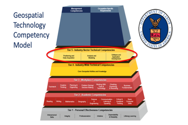
Credit: US Department of Labor Employment & Training Administration - Used with Permission