
Geospatial Intelligence and the Geospatial Revolution
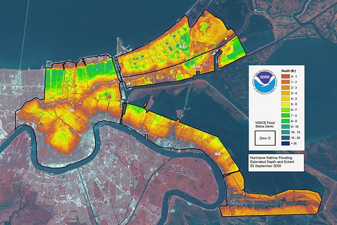
Credit: LIDAR map of New Orleans flooding caused by Hurricane Katrina, 3 September 2005 from ESA/NOAA is licensed under CC BY-SA 3.0 IGO
Resource Description
Geographic Intelligence (GEOINT) is more than people working with computers in a secure intelligence facility. Join us for this exciting journey to learn about GEOINT's application in business, law enforcement, and defense. Advances in satellites, GPS, unmanned aerial systems, wireless communications, handheld computing, and the ability to automate laborious map analysis processes has transformed what used to be called geographic intelligence, or GEOINT, and the nature of the insights provided to managers and leaders. We have gone from mountains of hardcopy maps to amazing automated systems that provide previously unavailable understanding. GEOINT combines geographic information science and technologies with an analytic tradecraft. You will experience the value of GEOINT. We welcome you to the Revolution. Learn moreUnmanned Aerial Systems
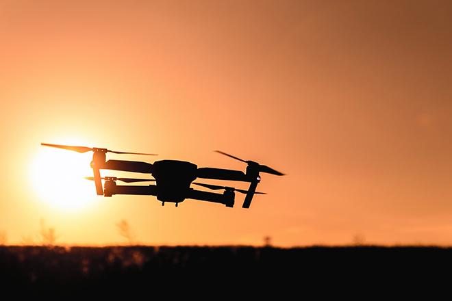
Credit: Photo by JESHOOTS.COM is licensed under CC0