Geodesign History, Theory, Principles

man pointing to a computer monitor. Three people sitting at a table looking at him.

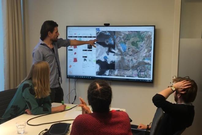
Photo credit:  Filip Linders, MSF/Doctors Without Borders/Swedish Innovation Unit (used with permission)

Resource Description

Do you believe that we can be more creative in planning our communities and protecting environments for a sustainable future? Would you like to learn a method to make a difference? One that empowers stakeholders and reduces conflict? Geodesign delivers creative solutions for environmental, economic, and social issues. This method works collaboratively across disciplines, deploying innovative technology to dynamically illustrate the impacts of alternative design scenarios. Geodesign is rooted in the physical design professions coupled with social and geographic sciences and enhanced by the latest technologies. GEODZ 511 introduces students to the multifaceted, well-proven geodesign framework grounded in a series of key decision-making steps. It emphasizes understanding both people and place through a unique collaborative method. Students learn how to work through the steps of the geodesign framework and begin to understand the process needed to make wise choices for today’s urban and rural design and planning challenges. 

Course Number

GEODZ 511

License

CC BY-NC-SA 4.0

Online Resource

View the entire resource online here: Geodesign History, Theory, Principles

Download Source Files

Download the resource's source files here: .zip (24.09 MB)

Stephen Mainzer

Stephen Mainzer

Stephen Mainzer is a designer, educator, and researcher whose work engages a socio-ecological systems approach to exploring decision dynamics of coupled human and natural environments. He studies ways in which the biophysical landscape – urban form, physiography, and ecology – intersect with the behaviors of individuals and communities toward energy use, conservation, planning, and pro-environmental voting actions. His methods build upon six years of professional practice and a transdisciplinary Ph.D. degree to employ geographic information systems, statistics, and qualitative techniques that advocate for evidence-based strategies.

Learn more

Caitlin Smith

Caitlin Smith is a project manager and consultant on Esri's state and local government services team, where she works largely in support of planning agencies and initiatives. Smith joined Esri after several years working at an urban and regional planning firm in Alberta, Canada. With a master's degree in landscape architecture and specific expertise in regional planning, GIS, and geodesign, Smith helps state and local governments plan the future of their communities using Esri's next generation technologies. She is a former faculty member in Penn State's Geodesign online graduate programs.

Learn more