
Cary Anderson
Biography
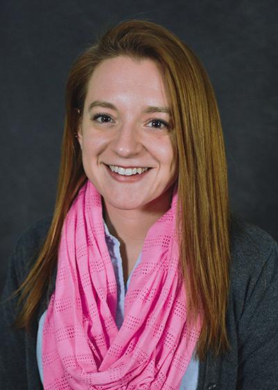
Hi everyone, my name is Cary Anderson and I am the instructor for this course. I am a graduate of Penn State myself – I completed my M.S. degree in Geography here in the resident program at University Park. My research interests are in how the design of maps and other visual graphics alters readers’ thoughts, behaviors, and decision-making processes. As you might imagine, I’m excited to be teaching this cartography and visualization course!
Geog 486 is built around 9 lessons, each of which culminate in a lab that applies the lesson content. These labs focus on real-world mapping scenarios; you will apply cartographic design principles (e.g., symbolization, projections, color, scale) to create maps of varying types and in varying application contexts. Labs will be supported by readings, quizzes, discussions, and peer critique. My goal is to help you make high-quality maps using cartographic techniques that can be applied to your own work or studies. Welcome to Geog 486!