Exploring Imagery and Elevation Data in GIS Applications
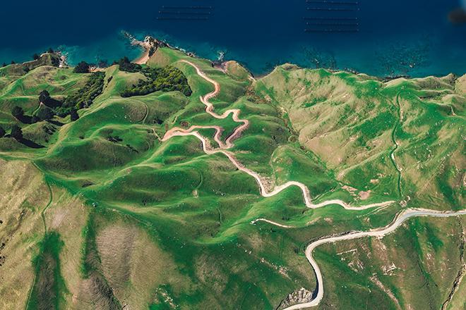
Resource Description

“Exploring Imagery and Elevation Data in GIS Applications” (GEOG 480) focuses on the use of remotely sensed imagery and elevation data in GIS applications. Students enrolling in GEOG 480 should have a solid conceptual foundation in geospatial information science and technology. GEOG 480 is appropriate for those who are already working in the geospatial profession and wish to use imagery and elevation data in visualization and spatial analysis. Throughout the course, students confront realistic remote sensing problem scenarios that incorporate such skills and concepts as definition of data needs, metadata content standards, data formats and types, and analysis methods.

Course Number

GEOG 480

License

CC BY-NC-SA 4.0

Online Resource

View the entire resource online here: Exploring Imagery and Elevation Data in GIS Applications

Download Source Files

Download the resource's source files here: .zip (2.62 MB)

Rakesh Malhotra

Photograph of author Rakesh Malhotra

Rakesh Malhotra (Ph.D., University of Georgia) authored Exploring Imagery and Elevation Data in GIS Applications for Penn State. In his full time job, he currently teaches geospatial sciences in the Department of Environmental, Earth and Geospatial Sciences at North Carolina Central University. Dr. Malhotra is a coordinator for the Geospatial Intelligence (GEOINT) Certificate at NCCU.

Dr. Malhotra’s publications include a review of GIS education at Historically Black Colleges and Universities (HBCUs), geospatial intelligence workforce development at HBCUs, the application of geospatial technologies to urban transportation, and algorithm development for RADAR data and image analyses.

Learn more